Mineral exploration is a critical first step in the mining process, as it helps in identifying and evaluating potential mining sites. Various techniques are used during exploration to locate and assess mineral deposits, determine their size, quality, and economic viability, and guide decisions on whether further investment in mining is warranted.
Mineral Exploration Techniques
- Geological Mapping
- Description: Geological mapping involves surveying rock formations at the surface to understand the geology of an area. This includes identifying rock types, structures, faults, and mineralization patterns.
- How It Helps: By analyzing rock formations and structures, geologists can predict where mineral deposits might be located. Mapping helps to identify areas with favorable geological conditions for mineralization.
- Geophysical Surveys
- Description: Geophysical techniques measure physical properties of the Earth (such as magnetic, gravitational, electrical, or seismic properties) to detect mineral deposits.
- Magnetic Surveys: Measures variations in the Earth’s magnetic field caused by mineralized rocks.
- Gravity Surveys: Detects variations in gravity caused by denser materials, such as ore bodies.
- Electromagnetic Surveys: Measures conductivity differences in the ground, useful for detecting base metals like copper and nickel.
- Seismic Surveys: Uses sound waves to map the subsurface and detect ore bodies.
- How It Helps: These surveys help identify areas of mineralization by providing a non-invasive way to “see” beneath the Earth’s surface. They help prioritize drill targets and map ore bodies more accurately.
- Description: Geophysical techniques measure physical properties of the Earth (such as magnetic, gravitational, electrical, or seismic properties) to detect mineral deposits.
- Geochemical Sampling and Analysis
- Description: Geochemical exploration involves collecting soil, rock, water, or vegetation samples from the surface or near-surface and analyzing them for trace elements or minerals that indicate the presence of ore bodies.
- Soil Sampling: Identifies geochemical anomalies in the soil that may be associated with buried mineral deposits.
- Stream Sediment Sampling: Detects trace metals that have been transported by water from upstream mineralization.
- How It Helps: Geochemical analysis identifies anomalous concentrations of elements that are often associated with mineralization. High concentrations of certain metals (like gold, copper, or uranium) in samples can pinpoint areas for more detailed exploration.
- Description: Geochemical exploration involves collecting soil, rock, water, or vegetation samples from the surface or near-surface and analyzing them for trace elements or minerals that indicate the presence of ore bodies.
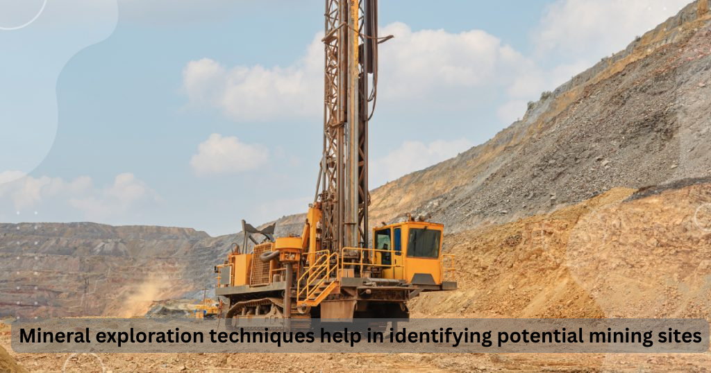
- Drilling and Core Sampling
- Description: Drilling involves drilling boreholes into the ground to collect rock samples (core samples) for analysis. These samples provide direct information about the mineral content, grade, and structure of the ore body at depth.
- How It Helps: Core samples allow geologists to assess the quality, quantity, and distribution of minerals within the ore body. Drilling is one of the most definitive ways to confirm the presence and size of a deposit.
- Remote Sensing
- Description: Remote sensing involves using satellite imagery or aerial surveys to gather data on the Earth’s surface. This can include multispectral or hyperspectral imaging to detect mineral signatures or alterations in vegetation and landforms associated with mineralization.
- How It Helps: Remote sensing provides large-scale data that helps identify areas of interest for ground-based exploration. It is particularly useful in identifying hydrothermal alteration zones, which can indicate mineral deposits.
- Trenching and Pitting
- Description: Trenching and pitting involve excavating small trenches or pits in the surface of the Earth to expose rock formations and minerals that may be buried. It is commonly used in areas where drilling might not be feasible or cost-effective.
- How It Helps: These methods provide direct access to the bedrock, allowing geologists to examine mineralization at shallow depths and better understand the surface expression of mineral deposits.
- Cuttings and Sample Analysis (Drill Cuttings)
- Description: In drilling programs, the material (cuttings) removed during the drilling process is collected and analyzed for mineral content.
- How It Helps: These samples can provide real-time data on the mineralization of the drilled area, helping to adjust exploration strategies and optimize drilling efforts.
How These Techniques Work Together
- Integrated Approach: Exploration typically uses a combination of these techniques. For example, geological mapping might identify an area of interest, followed by geophysical surveys to further refine target locations, and then geochemical sampling to detect mineral anomalies. If results are promising, drilling programs are implemented to collect definitive data on the size and quality of the deposit.
- Prioritizing Targets: Using these techniques together helps geologists to prioritize exploration efforts in the most promising areas, reducing the overall cost and time involved in exploration.
Conclusion
Mineral exploration techniques play a vital role in identifying potential mining sites by enabling geologists to systematically investigate the geological environment and assess the economic viability of mineral deposits. Methods such as geological mapping, geophysical surveys, geochemical analysis, drilling, and remote sensing provide valuable data that guide decisions about where to mine. Together, these exploration techniques reduce the uncertainty in mining ventures, minimize risk, and improve the chances of discovering valuable mineral deposits. However, mineral exploration is often a lengthy and costly process, and even with advanced technologies, it may not always result in the discovery of commercially viable mineral resources. Nevertheless, when successful, these techniques help ensure that mining operations are based on reliable data, leading to more efficient and profitable outcomes.


